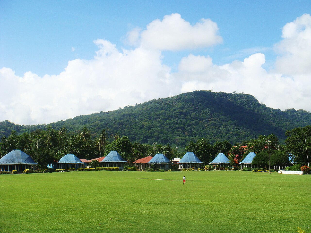
Apia
Capital of Samoa
Within 30 km of the centre of Apia, the nature places people read about most are Upolu, Mount Vaea, Lake Lanoto'o and O Le Pupu-Puʿe National Park.
People have shared 12,826 wildlife records within 50 km of Apia in the last ten years. The wild animals recorded most often are the red-vented bulbul, the cardinal myzomela, the buff-banded rail, the polynesian wattled honeyeater and the black emo skink. Since the 1980s the area has become about 1 °C warmer.
Among the animals people record most around Apia, the cardinal myzomela and the buff-banded rail appear on no other city page here.
- Country
- Samoa
- Population
- 37,708
- Area
- 124 km²
- Elevation
- 2 m
- Currency
- Samoan tālā
- Time zone
- UTC+13
- Daylight
- 11 to 13 hours
Figures from Wikidata; population 2006.
Apia on the map
- Upolu
- Mount Vaea
- Lake Lanoto'o
- O Le Pupu-Puʿe National Park
- Vaisigano River
- Nu'usafe'e Island
- Mount Fito
- Lake Lanoto'o National Park
- Tafua-upolu
Nature close to Apia
The places people read most about, from the centre outwards.


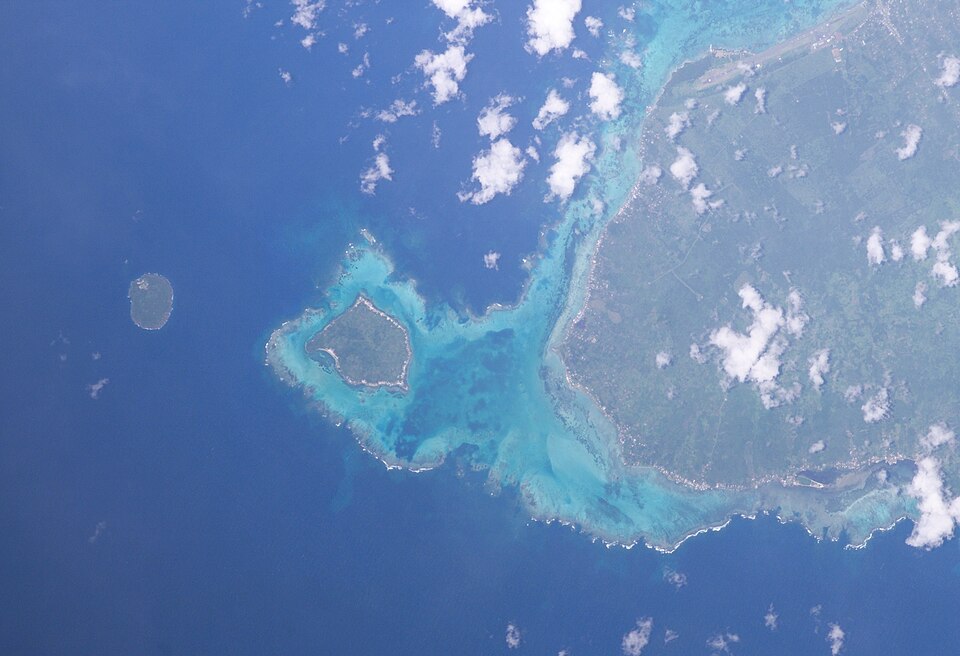
- Upolu Island · 13 km
- Lake Lanoto'o Lake · 9 km
- Vaisigano River River · 14 km
- Nu'usafe'e Island Island · 28 km
- Mount Fito Hill · 21 km
- Lake Lanoto'o National Park National park · 7 km
- Tafua-upolu Hill · 15 km
- Papapapaitai Falls Waterfall · 13 km
- Fagatoloa River River · 26 km
Routes from OpenStreetMap via Waymarked Trails. Not checked by 4Planet: follow local signs and conditions.
Wildlife around Apia
The wild animals people record most within 50 km, 2016–2025. Tick the ones you have seen to build your own list.


Seen in the last 30 days
What can you see near Apia now?
Month by month, from 12,826 records people shared within 50 km, 2016–2025.
Most seen in January


478 animal records in January.
At their peak in February

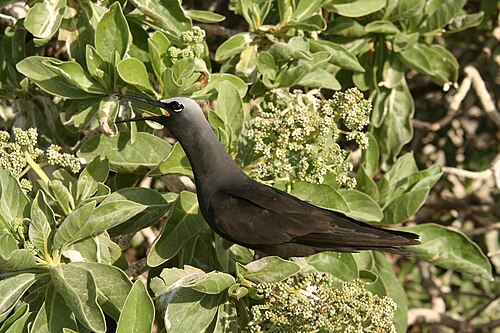
Most seen in February

517 animal records in February.
Most seen in March
896 animal records in March.


At their peak in October

Most seen in October
1,321 animal records in October.
Most seen in December
582 animal records in December.
Apia is getting warmer
+1.0 °CAverage temperature around Apia in 2016–2025, compared with 1981–1990.
Daylight: about 13 hours in December and 11 in June.
Seen something near Apia?
Share a photo of it on iNaturalist. Other naturalists help name it, and confirmed records go to GBIF, where scientists use them. That is where the lists on this page come from.
Apia on the living planet
More places near Apia
Sources and photo credits
- Wikidata · Apia (Q36260), facts and nature places
- Wikipedia page views · how well known each nature place is
- OpenStreetMap contributors via Waymarked Trails · marked walking routes (ODbL)
- GBIF · human observations within 50 km, 2016–2025 (12,826 animal records)
- NASA POWER · yearly temperature from satellite and model data (MERRA-2)
- MET Norway · weather now (shown live)
- Mount Vaea, Apia: Teinesavaii, CC BY-SA 3.0
- Mount Vaea, Apia: Teinesavaii, CC BY-SA 3.0
- O Le Pupu-Puʿe National Park, Apia: BIOPAMA, Public domain
- Lanoto'o, Apia: Виктор Пинчук, CC BY-SA 4.0
- Cape Fatuosofia, Apia: NASA, Public domain
- Red-vented bulbul: K. Hari Krishnan, CC BY-SA 3.0
- Cardinal myzomela: Cardinal_Myzomela.JPG: Duncan Wright derivative work: Berichard (talk), CC BY-SA 3.0
- Buff-banded rail: Duncan Wright, CC BY-SA 3.0
- Polynesian wattled honeyeater: Duncan, CC BY-SA 2.0
- Black emo skink: Charles J. Sharp, CC BY-SA 4.0
- Ruggie hermit crab: Michael Quigley Quigabyte, CC BY 3.0
- Vagabond butterflyfish: Dr. Dwayne Meadows, NOAA/NMFS/OPR, Public domain
- Coconut rhinoceros beetle: Philipp Hoenle, CC0
- Macao paper wasp: Charles J. Sharp, CC BY-SA 4.0
- Blue moon: Anitava Roy, CC BY-SA 4.0
- Small carpenter bee: USGS Native Bee Inventory and Monitoring Laboratory from Beltsville, USA, Public domain
- Giant clam: Nhobgood Nick Hobgood, CC BY-SA 3.0
- Common myna: Tisha Mukherjee, CC BY-SA 4.0
- Jungle myna: J.M.Garg, CC BY-SA 3.0
- White tern: Drew Avery, CC BY 2.0
- Wandering tattler: AMMuench, CC BY 4.0
- Black noddy: Duncan Wright, USFWS, Public domain
- Polynesian triller: Duncan Wright, CC BY-SA 3.0
- Brown booby: Danilo da Castro, CC BY-SA 3.0
- Ruddy turnstone: JJ Harrison (jjharrison89@facebook.com, CC BY-SA 4.0


Wildlife records show where people have seen and shared plants and animals, not everything that lives here; some places and months are recorded more than others. Sensitive species are never shown with a month or as seen recently. Routes come from OpenStreetMap and are not checked by 4Planet: follow local signs and conditions. Climate figures are NASA estimates for the area around Apia, not a single weather station.
Checked 2026-11-21.