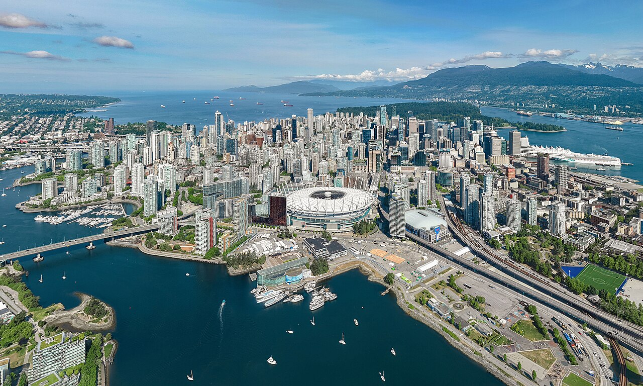
Vancouver
Largest city in the province of British Columbia, Canada
Within 30 km of the centre of Vancouver, the nature places people read about most are Fraser River, Stanley Park, Burrard Inlet and Grouse Mountain, and marked walks close to the city include Vancouver Pedway Network, North Shore Spirit Trail and Iva Mann Loop Walk.
People have shared 7,053,698 wildlife records within 50 km of Vancouver in the last ten years. The wild animals recorded most often are the song sparrow, the black-capped chickadee, the spotted towhee, the glaucous-winged gull and the alaskan pink shrimp. Since the 1980s the area has become about 0.8 °C warmer.
Of the 93 cities on Atlas, Vancouver has the 7th most wildlife records shared within 50 km. Among the animals people record most around Vancouver, the song sparrow and the spotted towhee appear on no other city page here.
- Country
- Canada
- Population
- 662,248
- Area
- 115 km²
- Elevation
- 2 m
- Currency
- Canadian dollar
- Daylight
- 8 to 16 hours
Figures from Wikidata; population 2021.
Vancouver on the map
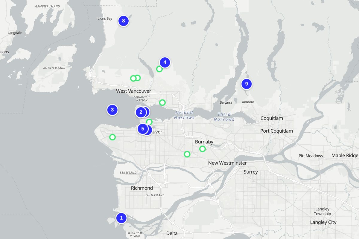
Numbers match the places below. Map: © OpenStreetMap contributors, OpenFreeMap.
- Fraser River
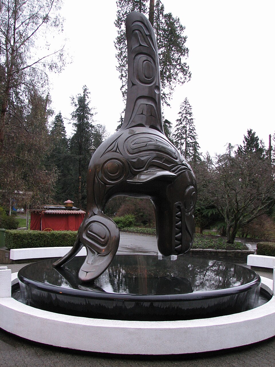
- Stanley Park
- Burrard Inlet
- Grouse Mountain
- Granville Island
- Vancouver Aquarium
- False Creek
- The Lions
- Buntzen Lake
Nature close to Vancouver
The places people read most about, from the centre outwards.


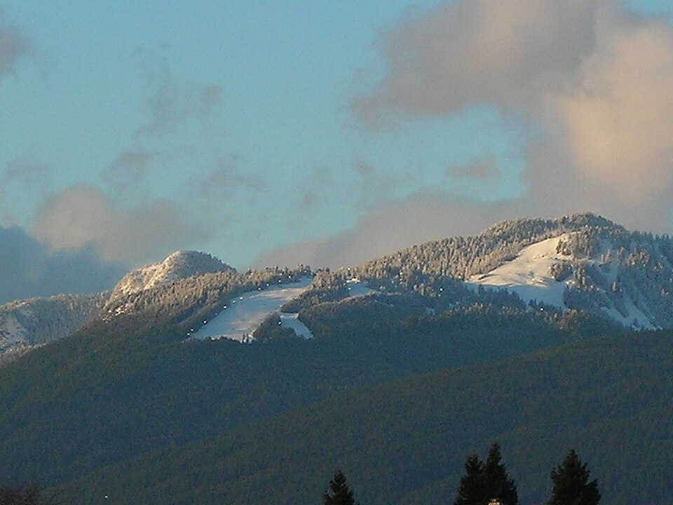



- Burrard Inlet Inlet · 7 km
- The Lions Hill · 21 km
- Lulu Island Island · 13 km
- Mount Seymour Hill · 18 km
Marked walks
- Vancouver Pedway Network1.2 km · 1 km from the centre
- North Shore Spirit Trail15.9 km · 5 km from the centre
- Iva Mann Loop Walk17.1 km · 7 km from the centre
- Trail of Hope2.7 km · 9 km from the centre
- Brothers Creek Forestry Heritage Walk4.1 km · 10 km from the centre
- Lawson Creek Forestry Heritage Walk4 km · 10 km from the centre
- Deer Lake COVID-19 One-way Loop5.6 km · 11 km from the centre · marked by City of Burnaby
- Grouse Grind1.9 km · 11 km from the centre
Long-distance trails through the area: Trans Canada Trail (British Columbia) (434 km), The Trans Canada Trail (195 km), Baden Powell Trail (43 km).
Routes from OpenStreetMap via Waymarked Trails. Not checked by 4Planet: follow local signs and conditions.
Wildlife around Vancouver
The wild animals people record most within 50 km, 2016–2025. Tick the ones you have seen to build your own list.


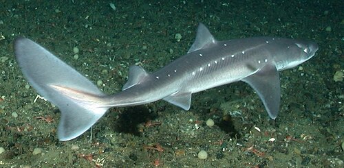

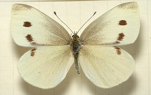


Seen in the last 30 days
What can you see near Vancouver now?
Month by month, from 7,053,698 records people shared within 50 km, 2016–2025.
At their peak in January
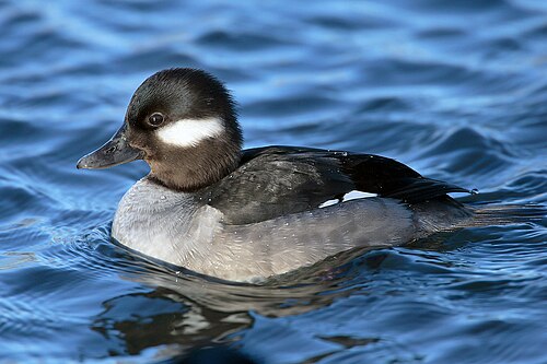
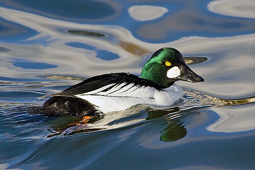


Most seen in January
Plants and fungi at their peak in January


596,218 animal records in January.
At their peak in February

Most seen in February
Plants and fungi at their peak in February


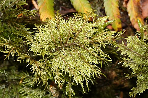
517,140 animal records in February.
At their peak in March


Most seen in March
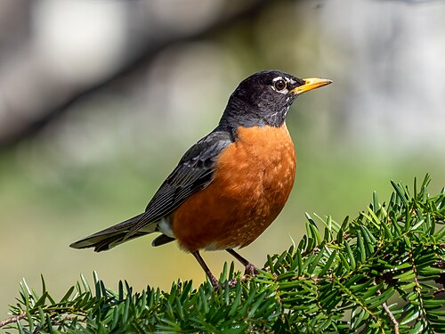
Plants and fungi at their peak in March

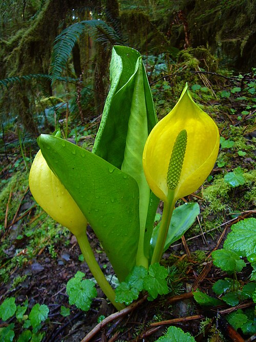
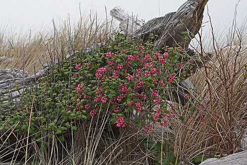

621,389 animal records in March.
At their peak in April


Most seen in April
Plants and fungi at their peak in April


849,048 animal records in April.
At their peak in May


Most seen in May
Plants and fungi at their peak in May

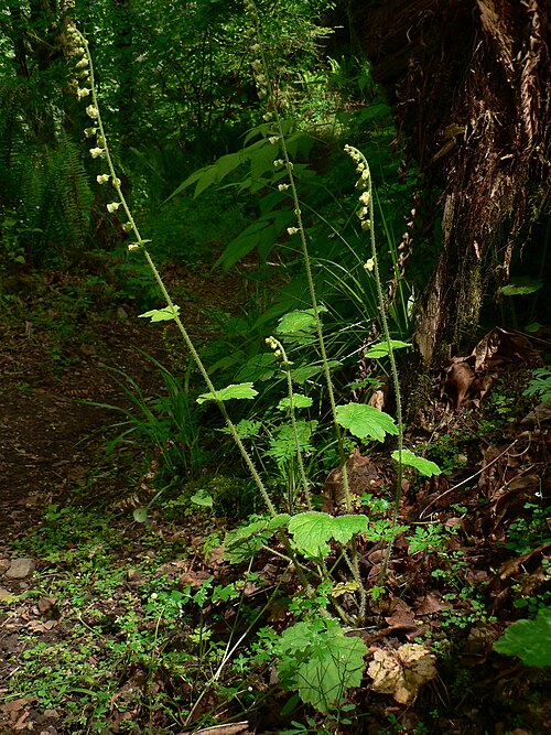


905,424 animal records in May.
At their peak in June


Most seen in June
Plants and fungi at their peak in June


587,721 animal records in June.
At their peak in July
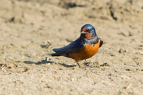

Most seen in July
Plants and fungi at their peak in July
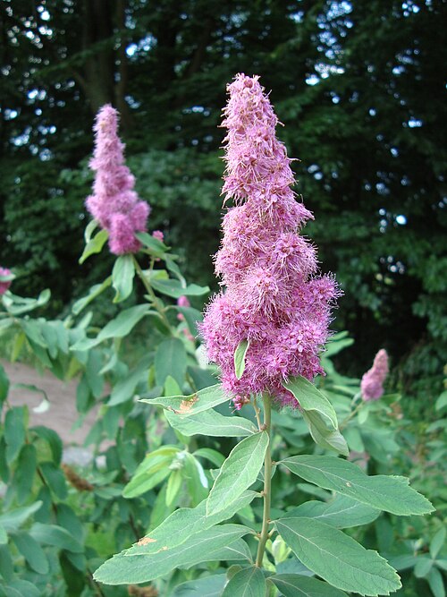


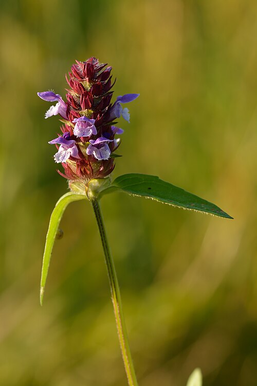
449,279 animal records in July.
At their peak in August


Most seen in August

Plants and fungi at their peak in August


478,660 animal records in August.
At their peak in September


Most seen in September
Plants and fungi at their peak in September
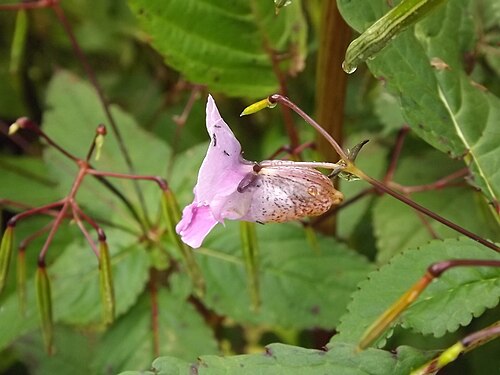


519,673 animal records in September.
At their peak in October


Most seen in October
Plants and fungi at their peak in October
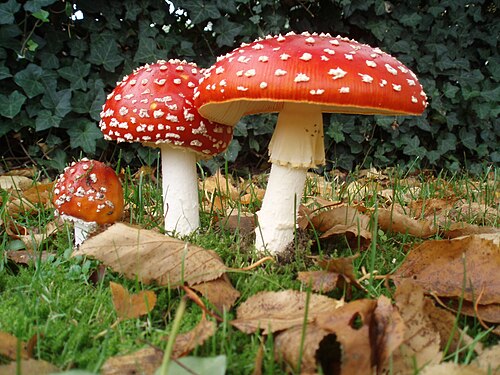
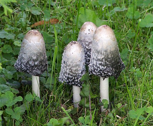

551,267 animal records in October.
At their peak in November

Most seen in November
Plants and fungi at their peak in November

497,555 animal records in November.
Vancouver is getting warmer
+0.8 °CAverage temperature around Vancouver in 2016–2025, compared with 1981–1990.
Daylight: about 8 hours in December and 16 in June.
Seen something near Vancouver?
Share a photo of it on iNaturalist. Other naturalists help name it, and confirmed records go to GBIF, where scientists use them. That is where the lists on this page come from.
Explore next
What puts Vancouver under pressure, what helps, and who works on it.
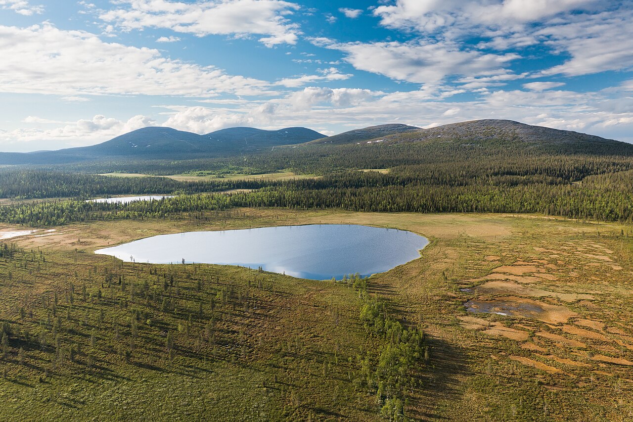
Vancouver on the living planet
More places near Vancouver
Sources and photo credits
- Wikidata · Vancouver (Q24639), facts and nature places
- Wikipedia page views · how well known each nature place is
- OpenStreetMap contributors via Waymarked Trails · marked walking routes (ODbL)
- GBIF · human observations within 50 km, 2016–2025 (7,053,698 animal records)
- NASA POWER · yearly temperature from satellite and model data (MERRA-2)
- MET Norway · weather now (shown live)
- Natural Earth · populated place 1159151555, public domain
- Vancouver, Canada: Quintin Soloviev, CC BY 4.0
- Fraser River, Vancouver: -JvL-, CC BY 2.0
- Stanley Park, Vancouver: squeakymarmot, CC BY 2.0
- Grouse Mountain, Vancouver: Orlandkurtenbach, Public domain
- Granville Island, Vancouver: Zhatt, Public domain
- Vancouver Aquarium, Vancouver: Emancipator at en.wikipedia, CC BY-SA 3.0
- False Creek, Vancouver: Philgarlic, CC BY-SA 2.0
- Buntzen Lake, Vancouver: Patrick Leahy (Patleahy), CC BY 2.0
- Horseshoe Bay, Vancouver: Philippe Giabbanelli, CC BY 3.0
- Song sparrow: Rhododendrites, CC BY-SA 4.0
- Black-capped chickadee: No machine-readable author provided. Mdf assumed (based on copyright claims)., CC BY-SA 3.0
- Spotted towhee: Vickie J Anderson, CC BY-SA 4.0
- Glaucous-winged gull: DickDaniels (http://theworldbirds.org/), CC BY-SA 3.0
- Alaskan pink shrimp: Totti, CC BY-SA 4.0
- Pacific herring: arheyman01, CC0
- Pacific bananaslug: Thomas Schoch, CC BY-SA 2.5
- North Pacific spiny dogfish: NOAA, Public domain
- Eastern gray squirrel: Dominic Nelson, CC BY-SA 4.0
- Small white: Sarefo, CC BY-SA 3.0
- Common eastern bumble bee: https://www.flickr.com/photos/gillesgonthier/297487697/, CC BY 2.0
- Ochre stars: D. Gordon E. Robertson, CC BY-SA 3.0
- Bufflehead: Mdf, CC BY-SA 3.0
- Common goldeneye: Calibas, CC BY-SA 3.0
- Barrow's goldeneye: USFWS Mountain-Prairie, Public domain
- Red-breasted merganser: Channel City Camera Club from Santa Barbara, US, CC BY 2.0
- Licorice fern: J Brew, CC BY-SA 2.0
- Western hemlock: Doug Kerr from Albany, NY, United States, CC BY-SA 2.0
- Waved silk-moss: Michael Becker, CC BY-SA 3.0
- Black-crowned night heron: Rhododendrites, CC BY-SA 4.0
- Douglas-fir: Walter Siegmund (talk), CC BY-SA 3.0
- Oregon beaked moss: brewbooks from near Seattle, USA, CC BY-SA 2.0
- Glittering wood-moss: Walter Siegmund (talk), CC BY-SA 3.0
- American robin: Rhododendrites, CC BY-SA 4.0
- Mountain bluebird: Elaine R. Wilson, CC BY-SA 2.5
- Eulachon: en:User:James Crippen, Public domain
- American bittern: USFWS Midwest Region from Midwest Region, United States, Public domain
- Osoberry: Walter Siegmund, CC BY 2.5
- American skunk cabbage: Martin Bravenboer, Public domain
- Red-flowering currant: Walter Siegmund (talk), CC BY-SA 3.0
- Oregon-grape: The original uploader was Meggar at English Wikipedia., CC BY-SA 3.0
- Myrtle warbler: Rhododendrites, CC BY-SA 4.0
- Rufous hummingbird: Rhododendrites, CC BY-SA 4.0
- Hudsonian whimbrel: ALAN SCHMIERER, CC0
- Bleeding-heart: Walter Siegmund (talk), CC BY-SA 3.0
- Pacific trillium: Walter Siegmund (talk), CC BY-SA 3.0
- Wilson's warbler: Dawn Beattie from Morro Bay, CA, USA, CC BY 2.0
- Tree swallow: Rhododendrites, CC BY-SA 4.0
- Brown-headed cowbird: Rhododendrites, CC BY-SA 4.0
- Pacific starflower: brewbooks, CC BY-SA 2.0
- Fringecups: Walter Siegmund, CC BY 2.5
- Dames rocket: AnRo0002, CC0
- Yellow flag: Jean-Jacques MILAN, CC BY-SA 3.0
- Swainson's thrush: Cephas, CC BY-SA 4.0
- Cedar waxwing: Jason Quinn, CC BY-SA 3.0
- Foxglove: Honza Groh, CC BY 3.0
- Oceanspray: Walter Siegmund (talk), CC BY-SA 3.0
- Pacific ninebark: Walter Siegmund (talk), CC BY-SA 3.0
- Barn swallow: Morhaf Aljanee, CC BY-SA 3.0
- Western flycatcher: Empidonax_difficilis1.jpg: goingslo on Flickr derivative work: Berichard (talk), CC BY 2.0
- Steeple-bush: Epibase, CC BY 3.0
- Fireweed: Zeynel Cebeci, CC BY-SA 4.0
- Tansy: Ivar Leidus, CC BY-SA 3.0
- Heal-all: Ivar Leidus, CC BY-SA 3.0
- Great blue heron: Rhododendrites, CC BY-SA 4.0
- Willow flycatcher: Paul Danese, CC BY-SA 4.0
- Purple martin: JJ Cadiz, Cajay, CC BY 3.0
- Pearly everlasting: Pendragon39, Public domain
- Purple loosestrife: Ivar Leidus, CC BY-SA 3.0
- Bittersweet nightshade: Giuseppe Frizzi, Public domain
- Savannah sparrow: Cephas, CC BY-SA 3.0
- Lincoln's sparrow: Rhododendrites, CC BY-SA 4.0
- Caspian tern: Mdf, CC BY-SA 3.0
- California gull: Alan Vernon, CC BY 2.0
- Himalayan balsam: Guptaele, CC BY-SA 4.0
- Red clover: Ivar Leidus, CC BY-SA 4.0
- Common plantain: Rasbak, CC BY-SA 3.0
- Snow goose: Andy Reago & Chrissy McClarren, CC BY 2.0
- Long-billed dowitcher: Mike Baird from Morro Bay, USA, CC BY 2.0
- Red-necked grebe: Donald Hobern from Copenhagen, Denmark, CC BY 2.0
- Fly agaric: Onderwijsgek, CC BY-SA 3.0 nl
- Lawyer's wig: A. Uciechowska, CC BY-SA 3.0
- Jelly rot: James Lindsey, CC BY-SA 3.0
- Horned grebe: Ekaterina Chernetsova (Papchinskaya) from Saint-Petersburg, Russia, CC BY 2.0
- Snowberry: Didier Descouens, CC BY-SA 4.0


Wildlife records show where people have seen and shared plants and animals, not everything that lives here; some places and months are recorded more than others. Sensitive species are never shown with a month or as seen recently. Routes come from OpenStreetMap and are not checked by 4Planet: follow local signs and conditions. Climate figures are NASA estimates for the area around Vancouver, not a single weather station.
Checked 2026-11-20.