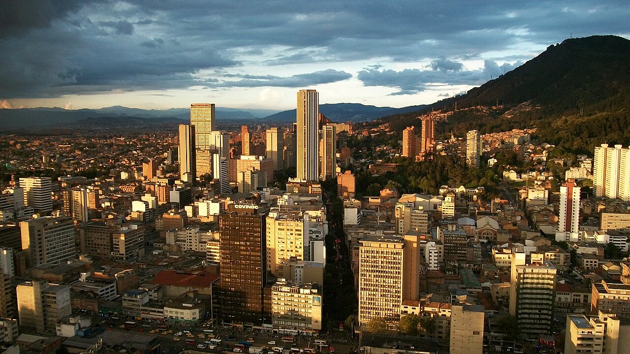
Bogotá
Capital city of Colombia
Within 30 km of the centre of Bogotá, the nature places people read about most are Monserrate, Simon Bolivar Park, Tequendama Falls and Guadalupe Hill, and marked walks close to the city include Camino de Monserrate, Sendero Quebrada Las Delicias and Sendero Quebrada la Vieja.
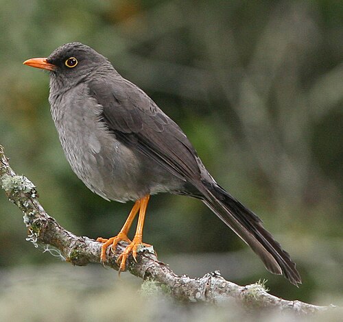
People have shared 1,469,657 wildlife records within 50 km of Bogotá in the last ten years. The wild animals recorded most often are the rufous-collared sparrow, the great thrush, the eared dove, the sparkling violetear and the black vulture. Since the 1980s the area has become about 0.9 °C warmer.
Of the 93 cities on Atlas, Bogotá has the 4th most species named on its page. Among the animals people record most around Bogotá, the scorpions and the thickhead ground snake appear on no other city page here.
- Country
- Colombia
- Population
- 8.0 million
- Area
- 1,578 km²
- Elevation
- 2,582 m
- Currency
- Colombian peso
- Daylight
- About 12 hours all year
Figures from Wikidata; population 2024.
Bogotá on the map
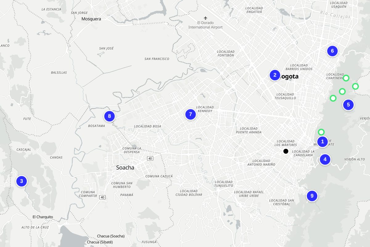
Numbers match the places below. Map: © OpenStreetMap contributors, OpenFreeMap.
- Monserrate
- Simon Bolivar Park
- Tequendama Falls
- Guadalupe Hill
- Eastern Hills, Bogotá
- 93 Park
- La Vaca
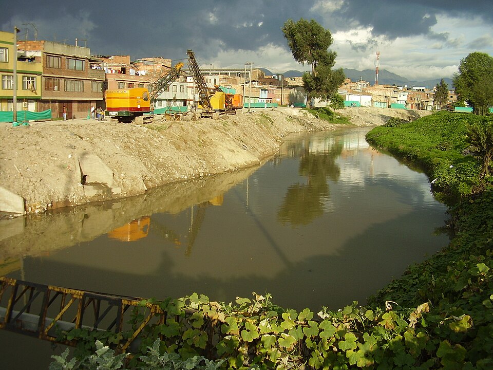
- Tunjuelo River
- Fucha River
Nature close to Bogotá
The places people read most about, from the centre outwards.



- La Vaca Nature reserve · 9 km
- Teusacá River Watercourse · 7 km
- Humedal Juan Amarillo Nature reserve · 15 km
Marked walks
- Camino de Monserrate7.2 km · 4 km from the centre
- Sendero Quebrada Las Delicias4.1 km · 6 km from the centre
- Sendero Quebrada la Vieja5.3 km · 7 km from the centre
- Sendero Horizontes-Las Moyas2.9 km · 8 km from the centre
- Sendero Las Moyas-Tres Caminos1.6 km · 8 km from the centre
- Camino real Bogotá - Choachí (T2)24 km · 11 km from the centre
- Camino real Chipaque-San Cristóbal16.6 km · 11 km from the centre
- Camino real Chorrera-San Francisco3.1 km · 13 km from the centre
Routes from OpenStreetMap via Waymarked Trails. Not checked by 4Planet: follow local signs and conditions.
Wildlife around Bogotá
The wild animals people record most within 50 km, 2016–2025. Tick the ones you have seen to build your own list.



Seen in the last 30 days
What can you see near Bogotá now?
Month by month, from 1,469,657 records people shared within 50 km, 2016–2025.
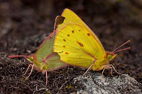
At their peak in January


Most seen in January
122,684 animal records in January.
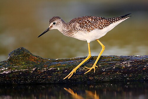
At their peak in February


Most seen in February
Plants and fungi at their peak in February


117,468 animal records in February.
At their peak in March

Most seen in March
Plants and fungi at their peak in March


115,836 animal records in March.
At their peak in April


Most seen in April
Plants and fungi at their peak in April


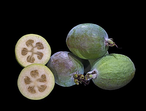
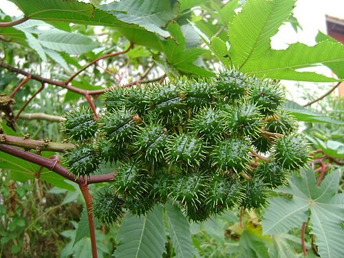
106,556 animal records in April.
Most seen in May
Plants and fungi at their peak in May

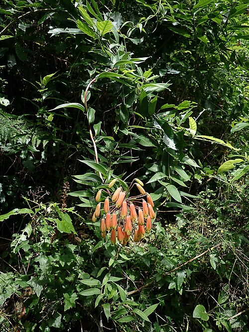

160,580 animal records in May.
At their peak in June

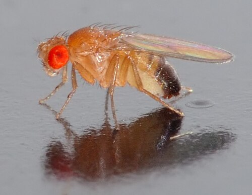
Most seen in June
Plants and fungi at their peak in June
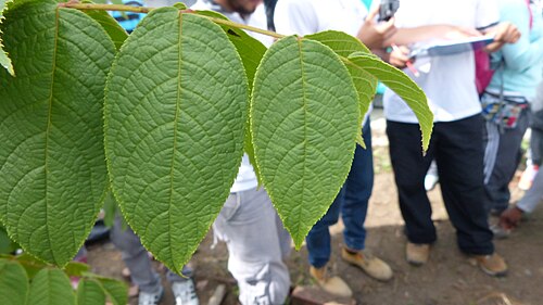

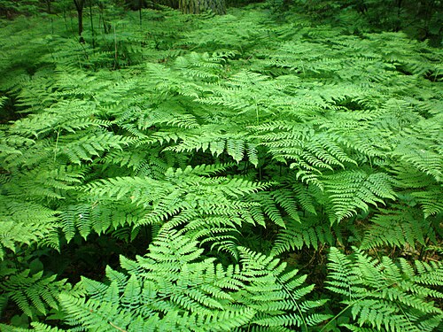

95,848 animal records in June.
At their peak in July

Most seen in July
Plants and fungi at their peak in July


109,306 animal records in July.
At their peak in August


Most seen in August
Plants and fungi at their peak in August


95,227 animal records in August.
At their peak in September


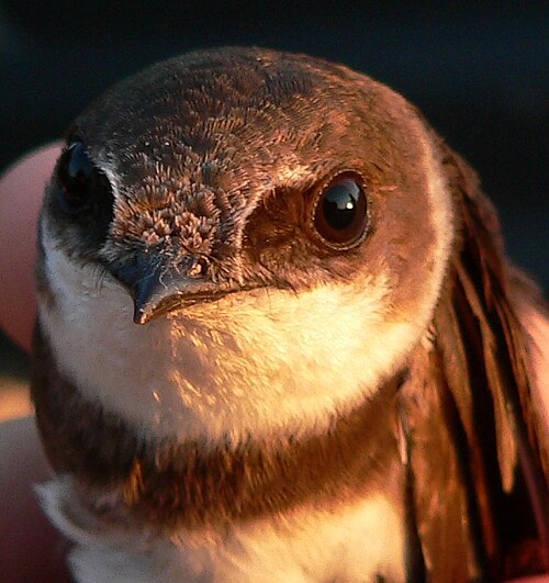
Most seen in September
Plants and fungi at their peak in September

106,607 animal records in September.
At their peak in October


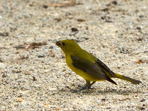
Most seen in October
Plants and fungi at their peak in October


185,435 animal records in October.
At their peak in November

Most seen in November
Plants and fungi at their peak in November
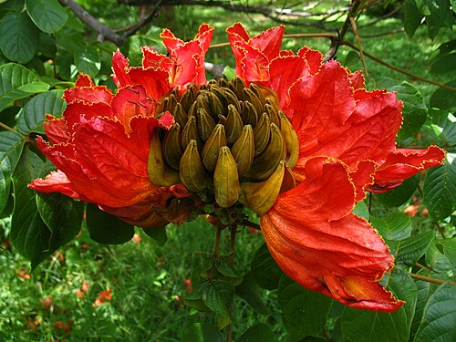

131,829 animal records in November.
At their peak in December

Most seen in December
122,281 animal records in December.
Bogotá is getting warmer
+0.9 °CAverage temperature around Bogotá in 2016–2025, compared with 1981–1990.
Daylight: about 12 hours in December and 12 in June.
Seen something near Bogotá?
Share a photo of it on iNaturalist. Other naturalists help name it, and confirmed records go to GBIF, where scientists use them. That is where the lists on this page come from.
Explore next
What puts Bogotá under pressure, what helps, and who works on it.
Bogotá on the living planet
More places near Bogotá
Sources and photo credits
- Wikidata · Bogotá (Q2841), facts and nature places
- Wikipedia page views · how well known each nature place is
- OpenStreetMap contributors via Waymarked Trails · marked walking routes (ODbL)
- GBIF · human observations within 50 km, 2016–2025 (1,469,657 animal records)
- NASA POWER · yearly temperature from satellite and model data (MERRA-2)
- MET Norway · weather now (shown live)
- Natural Earth · populated place 1159151601, public domain
- Bogotá, Colombia: Felipe Restrepo Acosta, CC BY-SA 3.0
- Monserrate, Bogotá: Felipe Restrepo Acosta, CC BY-SA 4.0
- Simon Bolivar Park, Bogotá: Felipe Restrepo Acosta, CC BY-SA 3.0
- Tequendama Falls, Bogotá: zeafra, CC BY 2.0
- Guadalupe Hill, Bogotá: Mussi Katz, CC0
- Eastern Hills, Bogotá, Bogotá: EEIM, CC BY-SA 4.0
- 93 Park, Bogotá: Felipe Restrepo Acosta, CC BY-SA 4.0
- Tunjuelo River, Bogotá: Arturo Edison Aparicio Guzman, CC BY 2.5
- Fucha River, Bogotá: Felipe Restrepo Acosta, CC BY-SA 3.0
- Rufous-collared sparrow: dfaulder, CC BY 2.0
- Great thrush: http://www.birdphotos.com, CC BY 3.0
- Eared dove: Bjørn Christian Tørrissen, CC BY-SA 3.0
- Sparkling violetear: Charles J. Sharp, CC BY-SA 4.0
- Black vulture: Wdiane, CC BY-SA 4.0
- Scorpions: Brian Gratwicke, CC BY 4.0
- Thickhead ground snake: Andrew J. Crawford, CC0
- Brazilian guinea pig: Petra Karstedt (= PetraK; www.Tiermotive.de), CC BY-SA 2.0 de
- Andean white-eared opossum: Didelphis_pernigra.JPG: Awkiku derivative work: Amada44 talk to me, CC BY-SA 3.0
- Brown garden snail: Zachi Evenor, CC BY 2.0
- Andean silverspot: Don Henise, CC BY 2.0
- Common green-eyed white: Everflowingriver, CC BY-SA 3.0
- Sora: Elaine R. Wilson, www.naturespicsonline.com, CC BY-SA 2.5
- Flavescent flycatcher: Nick Athanas, CC BY-SA 2.0
- Dimera sulphur: Paolo Costa Baldi, CC BY 3.0
- Tennessee warbler: Jerry Oldenettel, CC BY-SA 2.0
- Greater yellowlegs: Mike Baird (bairdphotos.com), CC BY 2.0
- Lesser yellowlegs: Wwcsig, CC BY-SA 3.0
- Bigfruit scaly polypody: JMK, CC BY-SA 3.0
- Narrow strapfern: Chhe (talk), Public domain
- Sulphur-bellied flycatcher: Dominic Sherony, CC BY-SA 2.0
- Squamulose maya: Tiago Lubiana, CC0
- Angel's trumpet: Tom Hulse, CC BY-SA 3.0
- Southern blue-gum: Murray Fagg, CC BY 3.0 au
- Eastern wood pewee: Rhododendrites, CC BY-SA 4.0
- Alder flycatcher: Cephas, CC BY-SA 3.0
- Mexican cypress: Sergio Kasusky at Flickr, CC BY 2.0
- Blackwood: SAplants, CC BY-SA 4.0
- Guavasteen: Didier Descouens, CC BY-SA 4.0
- Castorbean: Onjacktallcuca, Public domain
- Tree poppy: Forest & Kim Starr, CC BY 3.0
- Trailing lily: Duncan Cunningham, CC BY 4.0
- Argentine fleabane: Josep Gesti, CC BY-SA 4.0
- Northern house wren: Rhododendrites, CC BY-SA 4.0
- Pomace fly: André Karwath aka Aka, CC BY-SA 2.5
- Andean walnut: Diego Salamander, CC BY-SA 4.0
- Kikuyo grass: Nom. rev., CC BY 4.0
- Bracken: Hugo.arg, CC BY-SA 3.0
- Alstonville: yakovlev.alexey from Moscow, Russia, CC BY-SA 2.0
- Ruddy duck: ALAN SCHMIERER, CC0
- Bitter dock: Ayotte, Gilles, 1948-, CC BY-SA 4.0
- Mexican weeping pine: tereso30, CC BY 4.0
- Procumbent yellow-sorrel: Butterflyrajib, CC BY-SA 4.0
- Brown-chested martin: Charles J. Sharp, CC BY-SA 4.0
- White-bearded manakin: Dario Sanches from São Paulo, Brazil, CC BY-SA 2.0
- Spider plant: Juan Carlos Fonseca Mata, CC BY-SA 4.0
- Sheep sorrel: AnRo0002, CC0
- Eastern kingbird: Rhododendrites, CC BY-SA 4.0
- Fork-tailed flycatcher: Rogier Klappe, CC BY 2.0
- Sand martin: Axel Strauß, CC BY-SA 3.0
- Corn spurry: Rasbak, CC BY-SA 3.0
- Red-eyed vireo: John Benson from Madison WI, CC BY 2.0
- Swainson's thrush: Cephas, CC BY-SA 4.0
- Scarlet tanager: CheepShot, CC BY 2.0
- Panama hat plant: Forest & Kim Starr, CC BY 3.0
- Colombian blueberry: Franz Xaver, CC BY-SA 3.0
- Hopbush: Forest & Kim Starr, CC BY 3.0
- Summer tanager: Mike's Birds, CC BY-SA 2.0
- Fountain tree: Steven Haw, CC BY 2.0
- Silverleaf cotoneaster: Forest & Kim Starr, CC BY 3.0
- Merlin: Just a Prairie Boy from Calgary, AB, Canada, CC BY 2.0


_of_Pseudozizeeria_maha_(Kollar,_(1844))_%E2%80%93_Pale_Grass_Blue.jpg)


Wildlife records show where people have seen and shared plants and animals, not everything that lives here; some places and months are recorded more than others. Sensitive species are never shown with a month or as seen recently. Routes come from OpenStreetMap and are not checked by 4Planet: follow local signs and conditions. Climate figures are NASA estimates for the area around Bogotá, not a single weather station.
Checked 2026-11-20.