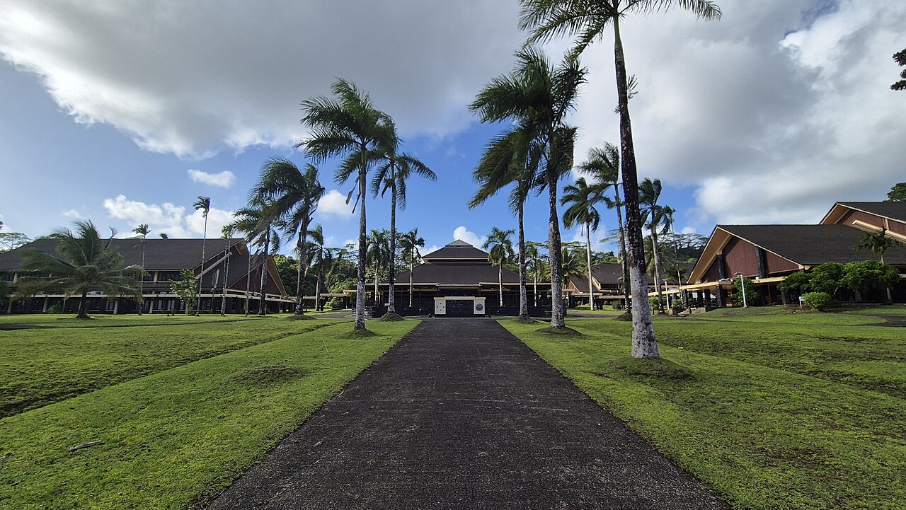
Palikir
Capital of Federated States of Micronesia
Within 30 km of the centre of Palikir, the nature places people read about most are Federated States of Micronesia, Nan Madol, Pohnpei and Senyavin Islands.
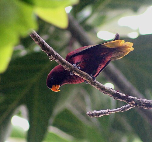
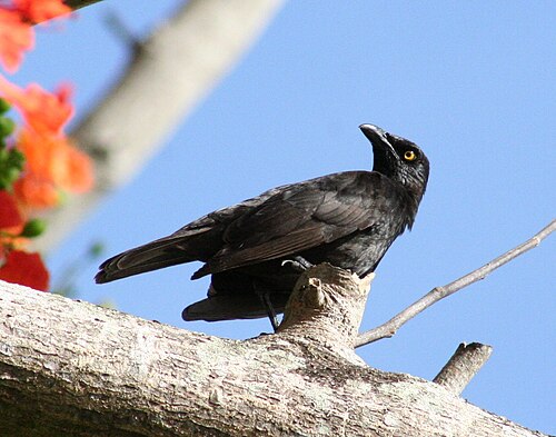
People have shared 3,473 wildlife records within 50 km of Palikir in the last ten years. The wild animals recorded most often are the pohnpei lorikeet, the micronesian starling, the micronesian myzomela, the island swiftlet and the white-tailed tropicbird. Since the 1980s the area has become about 0.8 °C warmer.
Among the animals people record most around Palikir, the pohnpei lorikeet and the island swiftlet appear on no other city page here.
- Population
- 6,227
- Elevation
- 80 m
- Currency
- United States dollar
- Daylight
- About 12 hours all year
Figures from Wikidata.
Palikir on the map
- Federated States of Micronesia
- Nan Madol
- Pohnpei
- Senyavin Islands
- Temwen Island
- Ant Atoll
- Mount Nanlaud
- Dolohmwar
- Deke Sokehs
Nature close to Palikir
The places people read most about, from the centre outwards.


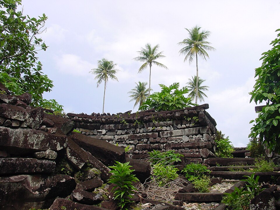
- Federated States of Micronesia Island · 1 km
- Senyavin Islands Island · 11 km
- Ant Atoll Atoll · 28 km
- Mount Nanlaud Hill · 7 km
- Dolohmwar Hill · 9 km
- Deke Sokehs Peninsula · 5 km
- Laiap Island · 16 km
- Dekehtik Island · 8 km
Routes from OpenStreetMap via Waymarked Trails. Not checked by 4Planet: follow local signs and conditions.
Wildlife around Palikir
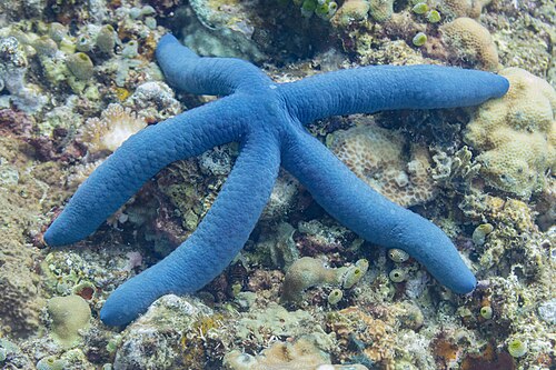
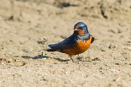
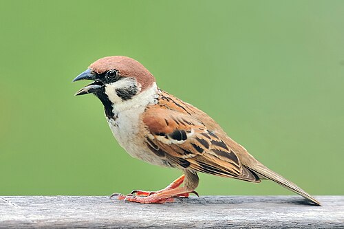
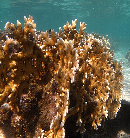
The wild animals people record most within 50 km, 2016–2025. Tick the ones you have seen to build your own list.




Seen in the last 30 days
What can you see near Palikir now?
Month by month, from 3,473 records people shared within 50 km, 2016–2025.
Most seen in January
99 animal records in January.
At their peak in February

Most seen in February
345 animal records in February.
At their peak in March
Most seen in March
339 animal records in March.
Most seen in May
154 animal records in May.

Most seen in August
743 animal records in August.
Most seen in September
105 animal records in September.
Most seen in October
186 animal records in October.
Most seen in November
340 animal records in November.
At their peak in December

Most seen in December
542 animal records in December.
Palikir is getting warmer
+0.8 °CAverage temperature around Palikir in 2016–2025, compared with 1981–1990.
Daylight: about 12 hours in December and 13 in June.
Seen something near Palikir?
Share a photo of it on iNaturalist. Other naturalists help name it, and confirmed records go to GBIF, where scientists use them. That is where the lists on this page come from.
Palikir on the living planet
More places near Palikir
Sources and photo credits
- Wikidata · Palikir (Q42751), facts and nature places
- Wikipedia page views · how well known each nature place is
- OpenStreetMap contributors via Waymarked Trails · marked walking routes (ODbL)
- GBIF · human observations within 50 km, 2016–2025 (3,473 animal records)
- NASA POWER · yearly temperature from satellite and model data (MERRA-2)
- MET Norway · weather now (shown live)
- Palikir, Federated States of Micronesia: MaxMonaco, CC BY-SA 4.0
- Nan Madol, Palikir: NOAA, Public domain
- Pohnpei, Palikir: Gargoylepni, Public domain
- Temwen Island, Palikir: CT Snow from Hsinchu, Taiwan, CC BY 2.0
- Pohnpei lorikeet: Peter, CC BY-SA 2.0
- Micronesian starling: Peter, CC BY-SA 2.0
- Micronesian myzomela: Peter, CC BY-SA 2.0
- Island swiftlet: White, Adam, Public domain
- White-tailed tropicbird: Dreizung, CC BY-SA 3.0
- Azure sea star: Diego Delso, CC BY-SA 4.0
- Caroline flying fox: Matschie, Paul., Public domain
- Banana spider: Charles J. Sharp, CC BY-SA 4.0
- Marbled eel: Kitty Mecklenburg, Public domain
- Hump coral: NPS photo - Larry Basch, Public domain
- Citrine white-eye: thibaudaronson, CC BY-SA 4.0
- Eurasian tree sparrow: Yiwenyiwen, CC BY-SA 4.0
- Barn swallow: Morhaf Aljanee, CC BY-SA 3.0
- Fire coral: Philippe Bourjon, CC BY-SA 3.0
- Pohnpei kingfisher: thibaudaronson, CC BY-SA 4.0
- Grey-tailed tattler: JJ Harrison (https://www.jjharrison.com.au/), CC BY-SA 3.0


Wildlife records show where people have seen and shared plants and animals, not everything that lives here; some places and months are recorded more than others. Sensitive species are never shown with a month or as seen recently. Routes come from OpenStreetMap and are not checked by 4Planet: follow local signs and conditions. Climate figures are NASA estimates for the area around Palikir, not a single weather station.
Checked 2026-11-21.