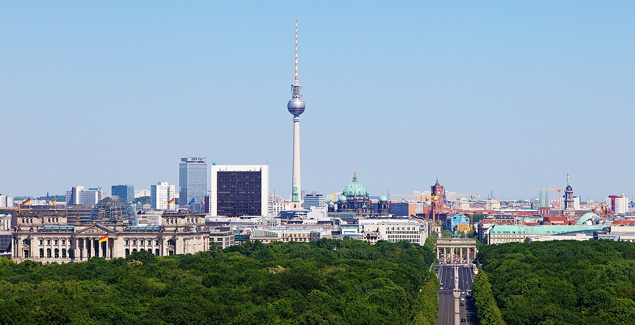
Berlin
Federated state, capital and largest city of Germany
Berlin: federated state, capital and largest city of Germany. Within 30 km of the centre, the nature places people read about most are Spree, Teufelsberg, AquaDom and Pfaueninsel, and marked walks close to the city include Lübarser Weg, Natur- und Gesundheitspfad Landschaftspark Herzberge and Altstadtpfad Charlottenburg.
People have shared 1,233,730 wildlife records within 50 km of Berlin in the last ten years. The wild animals recorded most often are the red fox, the hooded crow, the common wood pigeon, the great tit and the common blackbird. Since the 1980s the area has become about 2.1 °C warmer.
Of the 93 cities on Atlas, Berlin has the 3rd strongest warming since the 1980s and the 4th most marked walks.
- Country
- Germany
- Population
- 3.7 million
- Area
- 891 km²
- Elevation
- 34 m
- Currency
- Euro
- Daylight
- 8 to 17 hours
Figures from Wikidata; population 2025.
Berlin on the map
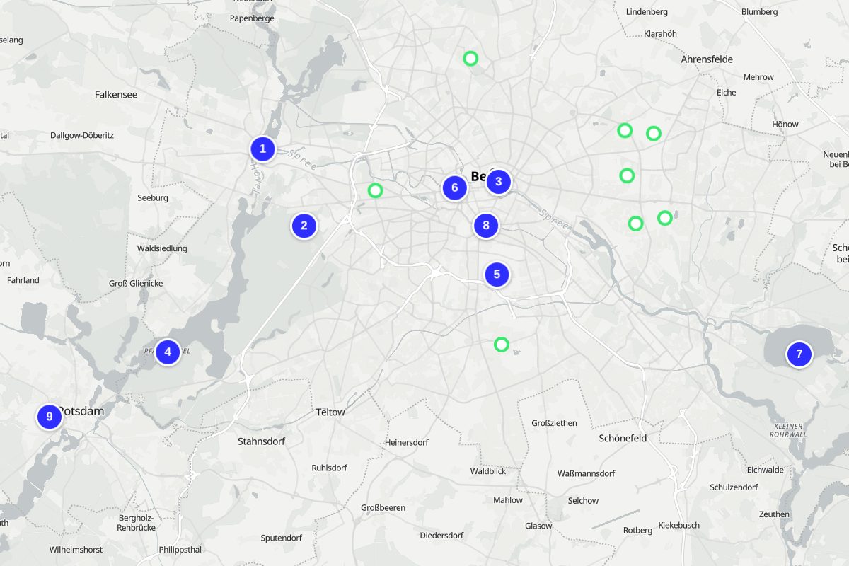
Numbers match the places below. Map: © OpenStreetMap contributors, OpenFreeMap.
- Spree
- Teufelsberg
- AquaDom
- Pfaueninsel
- Tempelhofer Feld
- Großer Tiergarten
- Müggelsee
- Landwehr Canal
- Sanssouci Park
Nature close to Berlin
The places people read most about, from the centre outwards.


- AquaDom Public aquarium · 1 km
- Großer Tiergarten Park · 2 km
- Müggelsee Lake · 20 km
- Treptower Park Park · 6 km
Marked walks
- Lübarser Weg13.4 km · 7 km from the centre · marked by Senatsverwaltung für Umwelt, Mobilität, Verbraucher- und Klimaschutz
- Natur- und Gesundheitspfad Landschaftspark Herzberge2.8 km · 7 km from the centre · marked by AGRARBÖRSE Deutschland Ost
- Altstadtpfad Charlottenburg1.1 km round trip · 7 km from the centre
- Lindenberger Korridor17.7 km · 8 km from the centre · marked by Senatsverwaltung für Umwelt, Mobilität, Verbraucher- und Klimaschutz
- Inforoute Platte & Co. (Gesamt)5.9 km · 8 km from the centre · marked by Bezirksamt Lichtenberg von Berlin
- Hönower Weg22 km · 9 km from the centre · marked by Senatsverwaltung für Umwelt, Mobilität, Verbraucher- und Klimaschutz
- Kaulsdorfer Weg16.7 km · 10 km from the centre · marked by Senatsverwaltung für Umwelt, Mobilität, Verbraucher- und Klimaschutz
- Britz-Buckower-Weg9.8 km · 10 km from the centre · marked by Senatsverwaltung für Umwelt, Mobilität, Verbraucher- und Klimaschutz
Long-distance trails through the area: European long distance path E11 (4,711 km), Jakobswege Brandenburg (901 km), 66-Seen-Wanderweg (420 km).
Routes from OpenStreetMap via Waymarked Trails. Not checked by 4Planet: follow local signs and conditions.
Wildlife around Berlin
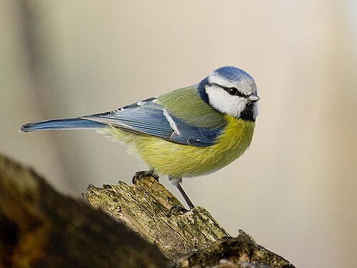
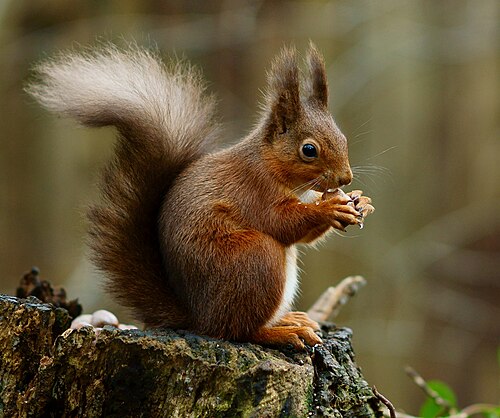
The wild animals people record most within 50 km, 2016–2025. Tick the ones you have seen to build your own list.




Seen in the last 30 days
What can you see near Berlin now?
Month by month, from 1,233,730 records people shared within 50 km, 2016–2025.
At their peak in January


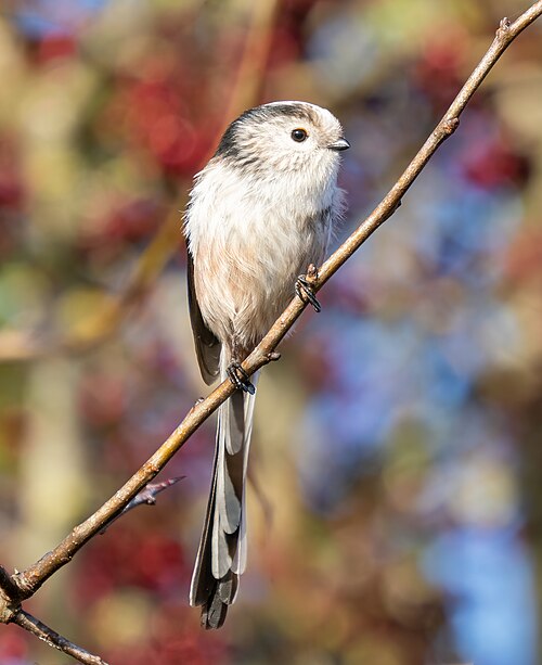
Most seen in January
108,169 animal records in January.
At their peak in February


Most seen in February
60,518 animal records in February.
At their peak in March
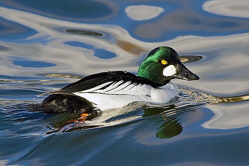
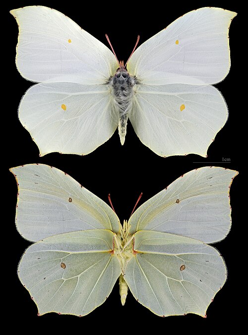

Most seen in March
Plants and fungi at their peak in March


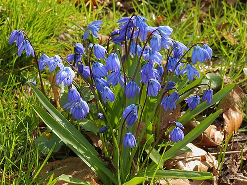

98,383 animal records in March.
At their peak in April

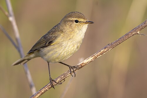


Most seen in April
Plants and fungi at their peak in April


137,593 animal records in April.
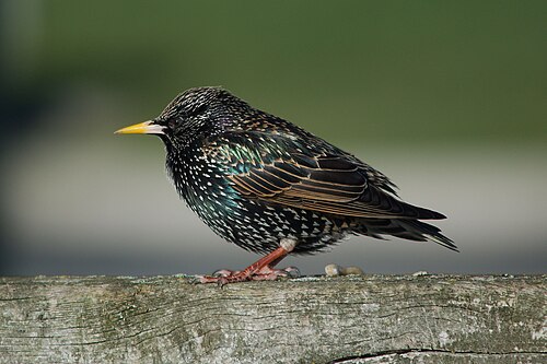
At their peak in May


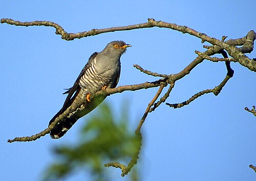
Most seen in May
Plants and fungi at their peak in May
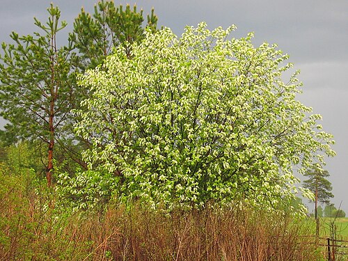


213,597 animal records in May.
At their peak in June

Most seen in June

Plants and fungi at their peak in June


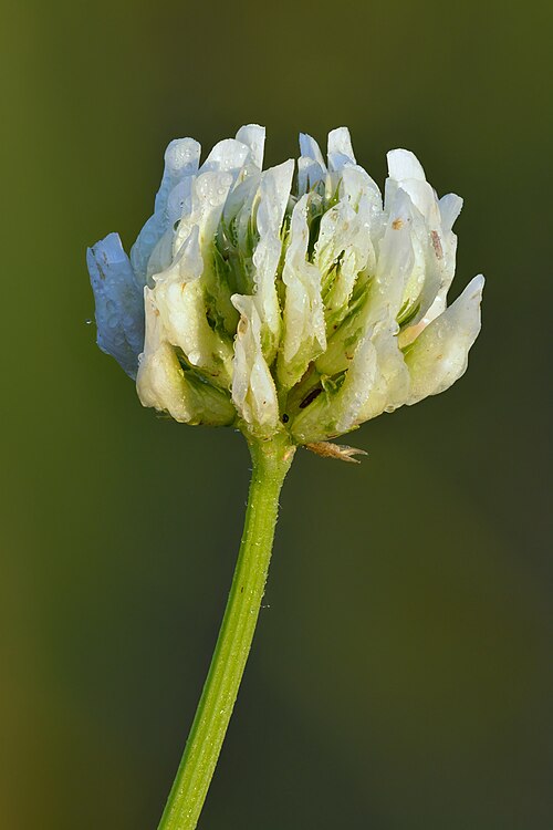
144,899 animal records in June.
At their peak in July
Most seen in July
Plants and fungi at their peak in July


111,968 animal records in July.
At their peak in August

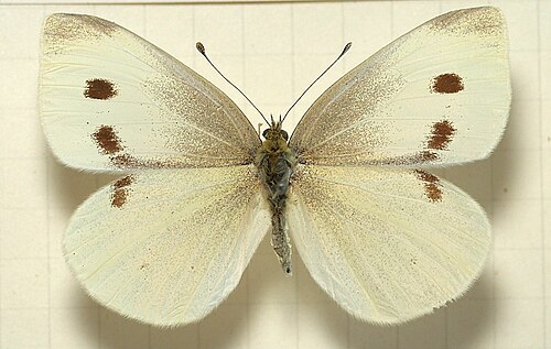
Most seen in August
Plants and fungi at their peak in August


105,342 animal records in August.
At their peak in September
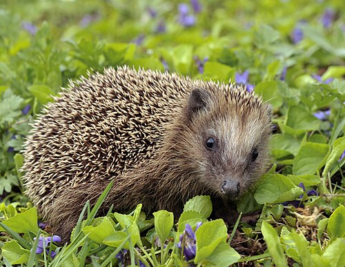


Most seen in September
Plants and fungi at their peak in September


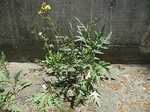
80,128 animal records in September.
At their peak in October

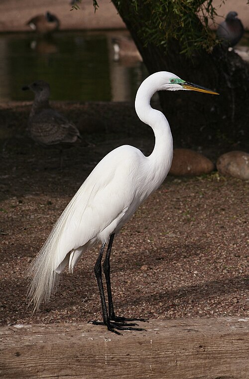

Most seen in October
Plants and fungi at their peak in October
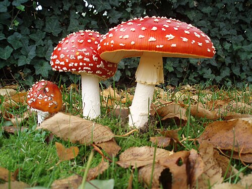


70,978 animal records in October.
At their peak in November


Most seen in November
Plants and fungi at their peak in November

55,970 animal records in November.
At their peak in December

Most seen in December
46,185 animal records in December.
Berlin is getting warmer
+2.1 °CAverage temperature around Berlin in 2016–2025, compared with 1981–1990.
Daylight: about 8 hours in December and 17 in June.
Seen something near Berlin?
Share a photo of it on iNaturalist. Other naturalists help name it, and confirmed records go to GBIF, where scientists use them. That is where the lists on this page come from.
Explore next
What puts Berlin under pressure, what helps, and who works on it.
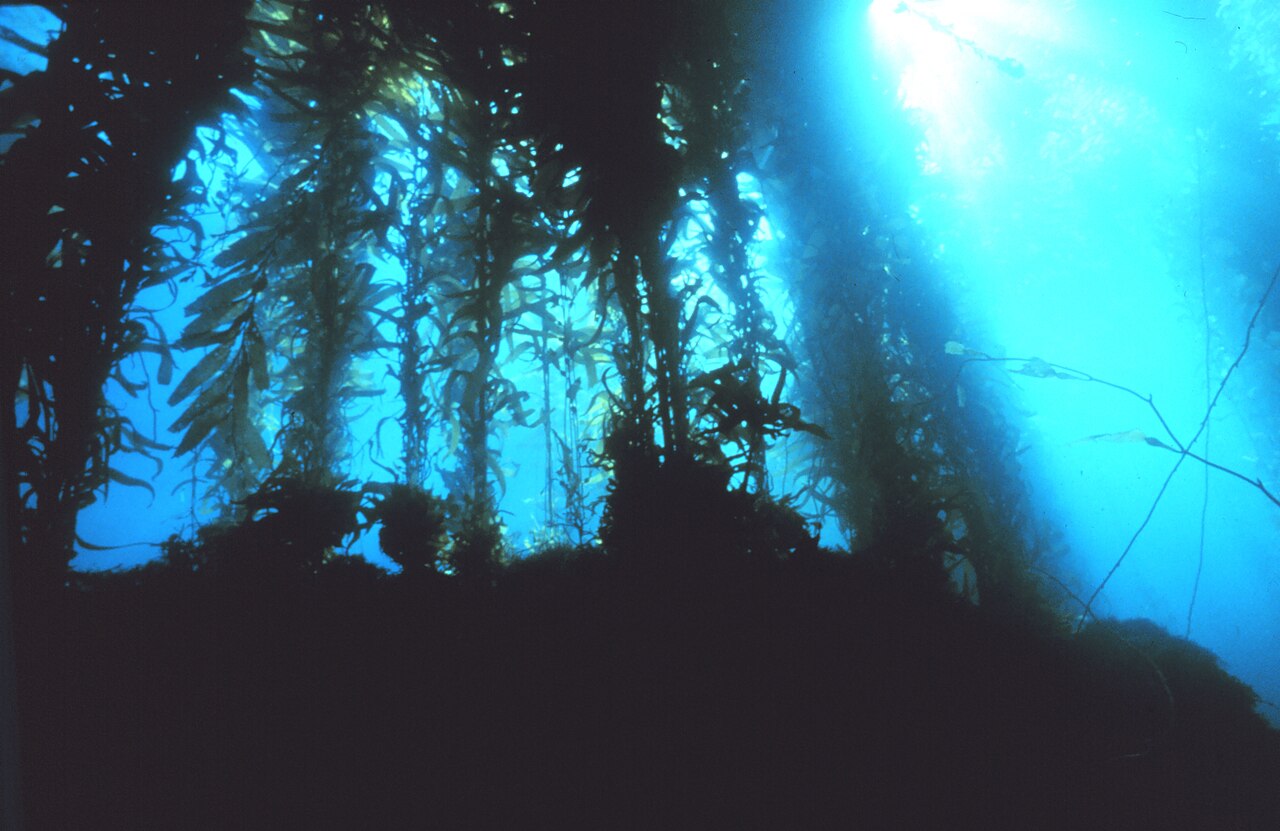
Berlin on the living planet
More places near Berlin
Sources and photo credits
- Wikidata · Berlin (Q64), facts and nature places
- Wikipedia page views · how well known each nature place is
- OpenStreetMap contributors via Waymarked Trails · marked walking routes (ODbL)
- GBIF · human observations within 50 km, 2016–2025 (1,233,730 animal records)
- NASA POWER · yearly temperature from satellite and model data (MERRA-2)
- MET Norway · weather now (shown live)
- Natural Earth · populated place 1159151529, public domain
- Berlin, Germany: Thomas Wolf, www.foto-tw.de, CC BY-SA 3.0
- Spree, Berlin: Túrelio, CC BY-SA 2.5
- Teufelsberg, Berlin: A.Savin, CC BY-SA 3.0
- Pfaueninsel, Berlin: E-W, CC BY-SA 3.0
- Tempelhofer Feld, Berlin: Coooohen, CC BY-SA 4.0
- Landwehr Canal, Berlin: A.Savin, CC BY-SA 3.0
- Sanssouci Park, Berlin: Angel Miklashevsky, CC BY-SA 4.0
- Lustgarten, Berlin: CruiseTommy, CC BY-SA 3.0
- Großer Wannsee, Berlin: Times, CC BY-SA 3.0
- Red fox: ClaudiaTen, CC BY-SA 4.0
- Hooded crow: Donald Hobern from Copenhagen, Denmark, CC BY 2.0
- Common wood pigeon: Don Loarie, CC BY 4.0
- Great tit: Frank Vassen from Brussels, Belgium, CC BY 2.0
- Common blackbird: Hobbyfotowiki, CC0
- Eurasian blue tit: Sławek Staszczuk, CC BY-SA 3.0
- Eurasian red squirrel: Peter Trimming, CC BY 2.0
- Firebug: hedera.baltica from Wrocław, Poland, CC BY-SA 2.0
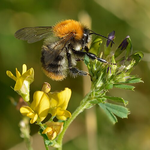
- Common carder bee: Ivar Leidus, CC BY-SA 4.0
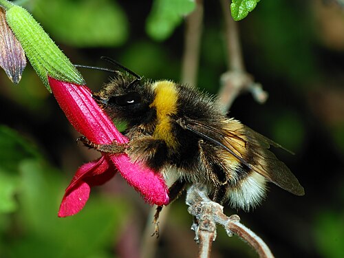
- Buff-tailed bumblebee: Alvesgaspar, CC BY-SA 3.0
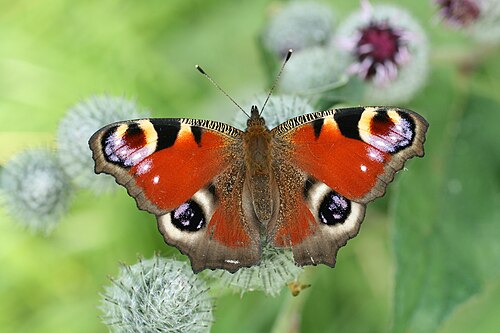
- Peacock: Korall, CC BY-SA 3.0
- Red admiral: Toni Wöhrl, CC BY-SA 4.0
- Eurasian nuthatch: Chme82, CC BY-SA 4.0
- European greenfinch: Estormiz, CC0
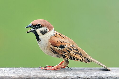
- Eurasian tree sparrow: Yiwenyiwen, CC BY-SA 4.0
- Long-tailed tit: Rhododendrites, CC BY-SA 4.0
- Common crane: Andreas Eichler, CC BY-SA 4.0
- Eurasian siskin: Sławek Staszczuk (photoss [AT] hotmail.co.uk), CC BY-SA 3.0
- Tufted duck: Alexis Lours, CC BY 4.0
- Common goldeneye: Calibas, CC BY-SA 3.0
- Brimstone: Didier Descouens, CC BY-SA 4.0
- Redwing: Andreas Trepte, CC BY-SA 2.5
- Red dead-nettle: Daniel J. Layton, CC BY-SA 4.0
- Winter aconite: Afanasovich, CC BY-SA 4.0
- Siberian squill: Dominicus Johannes Bergsma, CC BY-SA 3.0
- Cornelian cherry: B.navez, CC BY-SA 3.0
- Eurasian blackcap: Ron Knight from Seaford, East Sussex, United Kingdom, CC BY 2.0
- Common chiffchaff: Alexis Lours, CC BY 4.0
- Willow warbler: Andreas Trepte, CC BY-SA 2.5
- Lesser whitethroat: User:Aelwyn, CC BY-SA 3.0
- Garlic mustard: O. Pichard, CC BY-SA 3.0
- Few-flowered garlic: Michael Wolf, CC BY-SA 3.0
- Ground ivy: AnRo0002, CC0
- Common starling: marsupium photography, CC BY-SA 2.0
- Common nightingale: Արարատ Թրվանց, CC BY-SA 4.0
- Common swift: Alexis Lours, CC BY 4.0
- Common redstart: Aconcagua (talk), CC BY-SA 3.0
- Common cuckoo: GabrielBuissart, CC BY-SA 3.0
- Bird cherry: Игоревич, Public domain
- Cypress spurge: Krzysztof Golik, CC BY-SA 4.0
- Lily-of-the-valley: Ivar Leidus, CC BY-SA 4.0
- House sparrow: Rhododendrites, CC BY-SA 4.0
- Marmalade hoverfly: Alvesgaspar, CC BY-SA 3.0
- Blueweed: Giuseppe Frizzi, Public domain
- Biting stonecrop: Ivar Leidus, CC BY-SA 4.0
- Field bindweed: W. Bulach, CC BY-SA 4.0
- White clover: Ivar Leidus, CC BY-SA 4.0
- Soapwort: Img, Public domain
- Fly honeysuckle: Daniel Fuchs, CC BY-SA 2.5
- Wild carrot: User:Tigerente, CC BY-SA 3.0
- European hornet: Accipiter (R. Altenkamp, Berlin), CC BY 3.0
- Small white: Sarefo, CC BY-SA 3.0
- Tansy: Ivar Leidus, CC BY-SA 3.0
- Butter and eggs: Ivar Leidus, CC BY-SA 3.0
- Indian pokeweed: Algirdas, Public domain
- European hedgehog: Michael Gäbler, CC BY-SA 3.0
- European mantis: Didier Descouens, CC BY-SA 4.0
- Cross orbweaver: Didier Descouens, CC BY-SA 3.0
- Hop: No machine-readable author provided. Rasbak assumed (based on copyright claims)., CC BY-SA 3.0
- European spindletree: AnRo0002, CC0
- Perennial wall-rocket: AnRo0002, CC0
- Greater white-fronted goose: MPF, CC BY-SA 3.0
- Great egret: Calibas, CC BY-SA 3.0
- Goldcrest: Missy Osborn from New Forest, England, CC BY-SA 2.0
- Fly agaric: Onderwijsgek, CC BY-SA 3.0 nl
- European privet: Victor M. Vicente Selvas, CC BY-SA 3.0
- False deathcap: Jean-Marc Pascolo, CC BY-SA 4.0
- Black-headed gull: Diliff, CC BY-SA 3.0
- Rook: Brian Snelson from Hockley, Essex, England, CC BY 2.0
- Black nightshade: Giuseppe Frizzi, Public domain
- Great cormorant: MPF, CC BY-SA 4.0


Wildlife records show where people have seen and shared plants and animals, not everything that lives here; some places and months are recorded more than others. Sensitive species are never shown with a month or as seen recently. Routes come from OpenStreetMap and are not checked by 4Planet: follow local signs and conditions. Climate figures are NASA estimates for the area around Berlin, not a single weather station.
Checked 2026-11-20.