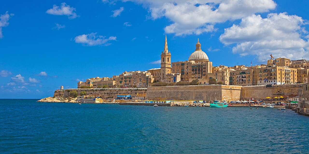
Valletta
Capital of Malta
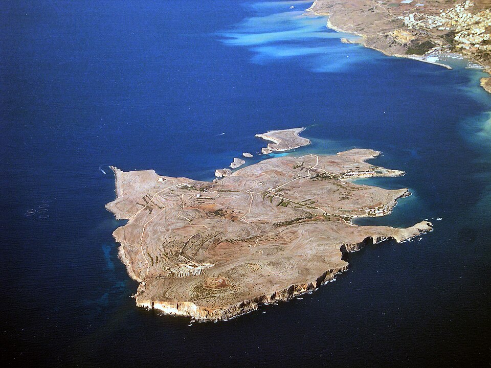
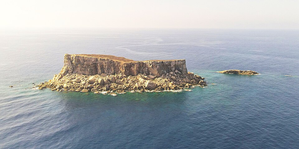
Within 30 km of the centre of Valletta, the nature places people read about most are Gozo, Malta, Popeye Village and Comino, and marked walks close to the city include Valletta Commonwealth Walkway, Floriana Heritage Trail and Tas-Silġ Walk A.
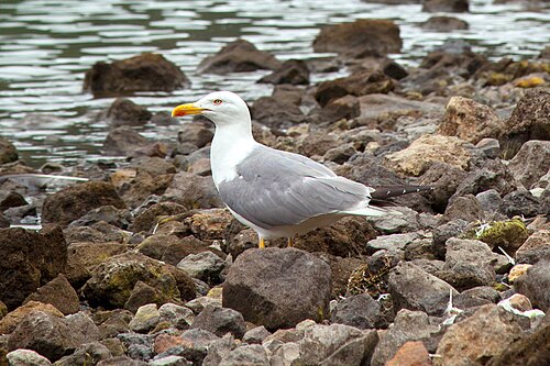
People have shared 60,098 wildlife records within 50 km of Valletta in the last ten years. The wild animals recorded most often are the spanish sparrow, the sardinian warbler, the yellow-legged gull, the rock dove and the zitting cisticola. Since the 1980s the area has become about 1 °C warmer.
Among the animals people record most around Valletta, the spanish sparrow and the sardinian warbler appear on no other city page here.
- Country
- Malta
- Population
- 5,197
- Area
- 80 km²
- Elevation
- 56 m
- Currency
- Euro
- Daylight
- 10 to 15 hours
Figures from Wikidata; population 2021.
Valletta on the map
- Gozo
- Malta
- Popeye Village
- Comino
- Filfla
- Manoel Island
- Upper Barrakka Gardens
- St Paul's Island
- Blue Grotto
Nature close to Valletta
The places people read most about, from the centre outwards.




- St Paul's Island Island · 13 km
Marked walks
- Valletta Commonwealth Walkway4.6 km · 1 km from the centre · marked by VisitMalta
- Floriana Heritage Trail2.3 km · 1 km from the centre · marked by Kunsill Lokali Il-Furjana
- Tas-Silġ Walk A7 km · 6 km from the centre
- Three Villages Walk6.6 km round trip · 6 km from the centre · marked by VisitMalta
- Tas-Silġ Walk B11.2 km · 7 km from the centre
- Ħaż-Żebbuġ Heritage Trail4.8 km · 7 km from the centre · marked by VisitMalta
- Windmills Walk (Żurrieq-Safi)8.9 km round trip · 8 km from the centre · marked by a
- Maqluba Walk6.2 km · 8 km from the centre
Long-distance trails through the area: Camino Maltés (35 km), Victoria Lines (16 km).
Routes from OpenStreetMap via Waymarked Trails. Not checked by 4Planet: follow local signs and conditions.
Wildlife around Valletta
The wild animals people record most within 50 km, 2016–2025. Tick the ones you have seen to build your own list.






Seen in the last 30 days
What can you see near Valletta now?
Month by month, from 60,098 records people shared within 50 km, 2016–2025.
At their peak in January


Most seen in January

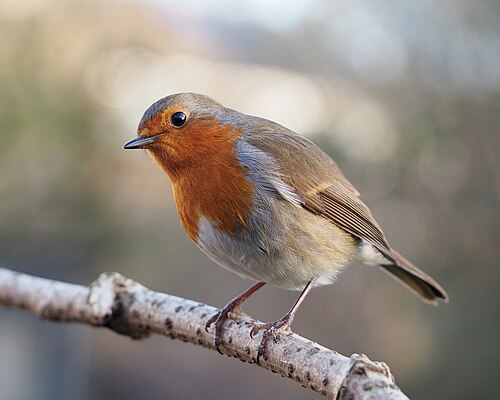
4,524 animal records in January.
At their peak in February
Most seen in February
3,141 animal records in February.
At their peak in March


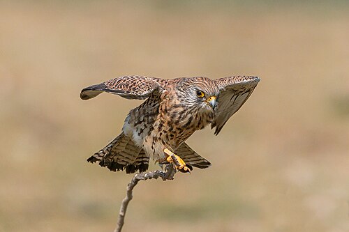

Most seen in March
7,733 animal records in March.



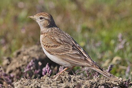

At their peak in June

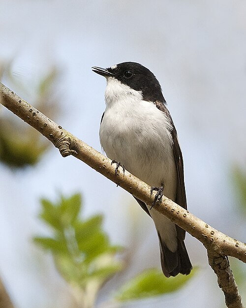
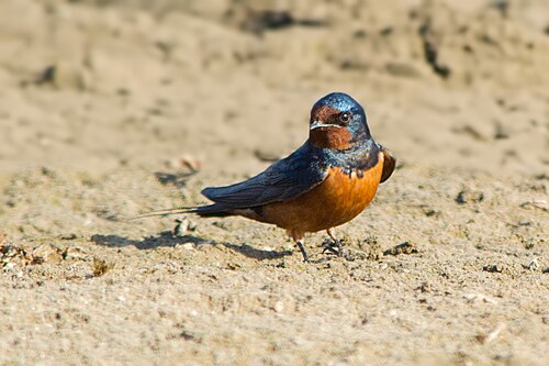
Most seen in June
1,394 animal records in June.


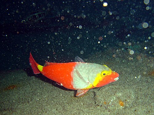
At their peak in August


Most seen in August
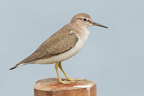
2,714 animal records in August.
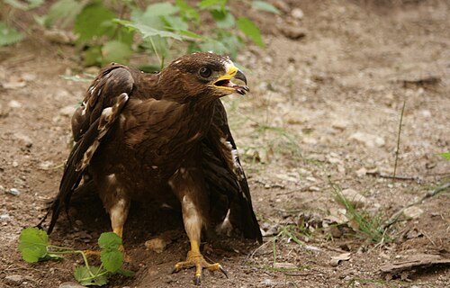


At their peak in October


Most seen in October
6,204 animal records in October.
At their peak in November
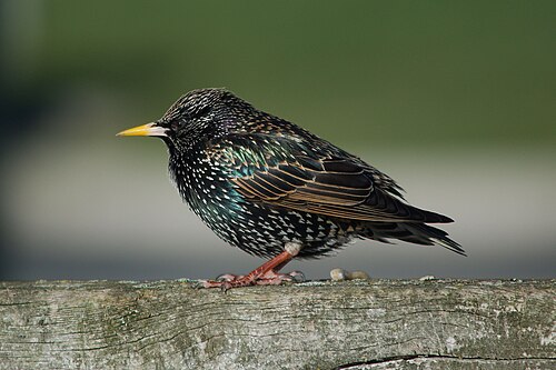
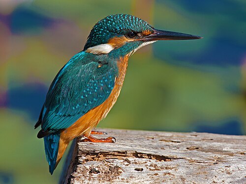
Most seen in November
4,303 animal records in November.
At their peak in December
Most seen in December
3,760 animal records in December.
Valletta is getting warmer
+1.0 °CAverage temperature around Valletta in 2016–2025, compared with 1981–1990.
Daylight: about 10 hours in December and 15 in June.
Seen something near Valletta?
Share a photo of it on iNaturalist. Other naturalists help name it, and confirmed records go to GBIF, where scientists use them. That is where the lists on this page come from.
Valletta on the living planet
More places near Valletta
Sources and photo credits
- Wikidata · Valletta (Q23800), facts and nature places
- Wikipedia page views · how well known each nature place is
- OpenStreetMap contributors via Waymarked Trails · marked walking routes (ODbL)
- GBIF · human observations within 50 km, 2016–2025 (60,098 animal records)
- NASA POWER · yearly temperature from satellite and model data (MERRA-2)
- MET Norway · weather now (shown live)
- Valletta, Malta: Bengt Nyman, CC BY 3.0
- Gozo, Valletta: European Space Agency, CC BY-SA 3.0 igo
- Malta, Valletta: Unknown authorUnknown author, Public domain
- Popeye Village, Valletta: Diego Delso, CC BY-SA 4.0
- Comino, Valletta: Martin Galea De Giovanni, CC BY-SA 4.0
- Filfla, Valletta: Godmus, CC BY-SA 4.0
- Manoel Island, Valletta: Matthew Benn, CC BY-SA 4.0
- Upper Barrakka Gardens, Valletta: C T Johansson, CC BY-SA 4.0
- Blue Grotto, Valletta: Ninaeva Нина Силаева, CC BY-SA 3.0
- Spanish sparrow: Juan Emilio from Las Palmas de Gran Canaria, España, CC BY-SA 2.0
- Sardinian warbler: Andreas Trepte, CC BY-SA 2.5
- Yellow-legged gull: Cinty Ionescu from Bucharest, Romania, this edit MPF, CC BY 2.0
- Rock dove: william_stephens, CC BY 4.0
- Zitting cisticola: Alexis Lours, CC BY 4.0
- Filfola lizard: Hans Hillewaert, CC BY-SA 4.0
- Moorish gecko: Bernard DUPONT from FRANCE, CC BY-SA 2.0
- Chocolate-band snail: Nico Hernandez, CC BY 4.0
- Brown garden snail: Zachi Evenor, CC BY 2.0
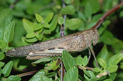
- Egyptian grasshopper: Alvesgaspar, CC BY-SA 3.0
- Swallowtail: Michael Wittwer, CC BY-SA 4.0
- Lamenting grasshopper: Christiaan Kooyman, Public domain
- White wagtail: Jac. Janssen from BAARLO LB, NL, CC BY 2.0
- European robin: Francis C. Franklin, CC BY-SA 3.0
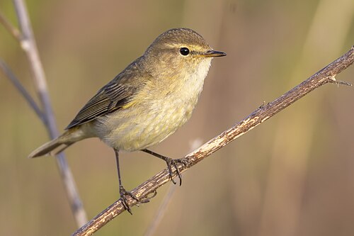
- Common chiffchaff: Alexis Lours, CC BY 4.0
- Black redstart: Siva301in, CC BY-SA 3.0
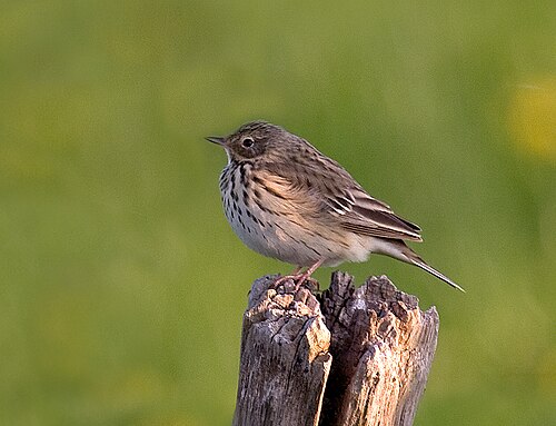
- Meadow pipit: Andreas Trepte, CC BY-SA 2.5
- European stonechat: Frank Vassen from Brussels, Belgium, CC BY 2.0
- Eurasian hoopoe: Shantanu Kuveskar, CC BY-SA 3.0
- Yelkouan shearwater: Julien Renoult, CC BY 4.0
- Lesser kestrel: Hari K Patibanda, CC BY 2.0
- Black-winged stilt: Kingshuk Mondal, CC BY 4.0
- Barn swallow: Morhaf Aljanee, CC BY-SA 3.0
- Tree pipit: MPF, CC BY-SA 3.0
- European pied flycatcher: Mark Medcalf, CC BY 2.0
- Whinchat: Artur Mikołajewski, CC BY 2.5
- Common swift: Alexis Lours, CC BY 4.0
- Greater short-toed lark: Juan Lacruz, CC BY-SA 3.0
- Common whitethroat: Steve Garvie from Dunfermline, Fife, Scotland, CC BY-SA 2.0
- Mauve stinger: Hans Hillewaert, CC BY-SA 4.0
- Scopoli's shearwater: Marcabrera, CC BY-SA 2.0
- Ornate wrasse: Diego Delso, CC BY-SA 4.0
- Parrotfish: Fernando Herranz Martín, CC BY-SA 2.5 es
- Common sandpiper: JJ Harrison (https://www.jjharrison.com.au/), CC BY 3.0
- Common chameleon: Benny Trapp, CC BY 3.0
- Little stint: Ken Billington, CC BY-SA 3.0
- European bee-eater: Петро Катеринич, CC BY 4.0
- European honey buzzard: Sillerkiil, CC BY-SA 4.0
- Grey heron: Bengt Nyman from Vaxholm, Sweden, CC BY 2.0
- Northern wheatear: Andreas Trepte, CC BY-SA 2.5
- Song thrush: Charles J. Sharp, CC BY-SA 4.0
- Grey wagtail: gailhampshire from Cradley, Malvern, U.K, CC BY 2.0
- Oriental hornet: KPFC, CC BY-SA 3.0
- Common starling: marsupium photography, CC BY-SA 2.0
- Common kingfisher: Artemy Voikhansky, CC BY-SA 4.0


Wildlife records show where people have seen and shared plants and animals, not everything that lives here; some places and months are recorded more than others. Sensitive species are never shown with a month or as seen recently. Routes come from OpenStreetMap and are not checked by 4Planet: follow local signs and conditions. Climate figures are NASA estimates for the area around Valletta, not a single weather station.
Checked 2026-11-21.