Start with the place. Follow what connects.
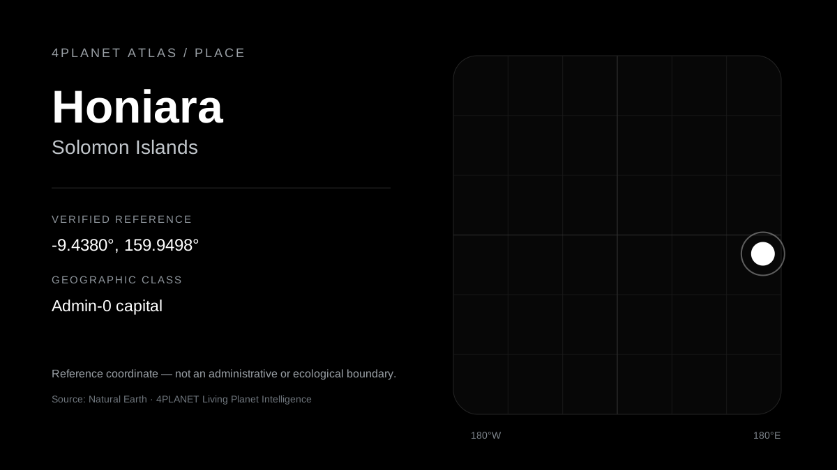
Natural Earth classifies Honiara as admin-0 capital in Solomon Islands, Guadalcanal. 4PLANET ATLAS represents Honiara as a stable geographic object at Natural Earth reference coordinate -9.437994, 159.949766. The coordinate opens the intended map context; it is not an administrative or ecological boundary.
Geographic context: Solomon Islands. A canonical parent object is not yet published in this cohort.
Verified geographic hierarchy: Guadalcanal → Solomon Islands → Caribbean → North America.
What connects to Honiara?
Geographic identity is the foundation. Living Systems, Species, Pressures, Missions, Evidence and Solutions appear here only when the shared 4PLANET evidence model supports the connection.
No curated ecological relationship bundle is published for this place yet. The absence remains visible rather than being filled with generic environmental claims.
Nearby places to explore
- Explore Port Vila in ATLAS — about 1,291 km from the reference point
- Explore Port Moresby in ATLAS — about 1,399 km from the reference point
- Explore Palikir in ATLAS — about 1,829 km from the reference point
- Explore Tarawa in ATLAS — about 1,879 km from the reference point
- Explore Funafuti in ATLAS — about 2,118 km from the reference point
- Explore Suva in ATLAS — about 2,216 km from the reference point
Connected places in the World Place Index
Know where the place comes from.
Truth boundary: this Place page verifies geographic identity and map context. It does not by itself establish species presence, ecosystem health, pressure, causality or ecological outcome.
Move from this place into the living planet.
The interactive view carries the same canonical place slug and verified reference coordinate into ATLAS.
OPEN Honiara IN ATLAS →