 Green sea turtleChelonia mydas
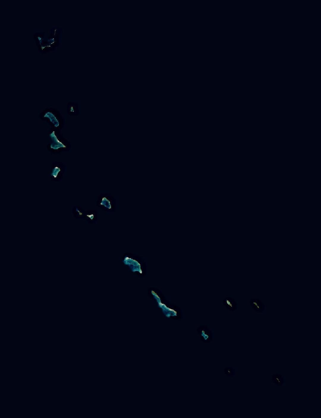
Kiribati
An island country of coral atolls in the central Pacific.
Image: NASA Blue Marble. Borders: Natural Earth.
Kiribati is made up of 33 coral atolls and islands spread across the central Pacific, on both sides of the equator. Most of them rise only a few metres above the sea, and Kiritimati is one of the largest coral atolls on Earth.
The Phoenix Islands Protected Area is one of the largest marine protected areas on Earth and a UNESCO World Heritage Site. Millions of seabirds nest on its remote islands.
Kiribati
- Capital
- South Tarawa
- Population
- 134,518
- Area
- 811 km²
- Continent
- Insular Oceania, Oceania
- Highest point
- Banaba Island, 81 m
- Languages
- English, Gilbertese
- Currency
- Kiribati dollar
- Time zone
- 3 time zones
Figures from Wikidata; population 2024.
Kiribati in pictures



Which animals live in Kiribati?
Among the animals recorded in Kiribati are the green sea turtle, the sperm whale and the common bottlenose dolphin. These are wildlife records shared through GBIF, not a full list of the animals that live here.
Green sea turtleChelonia mydas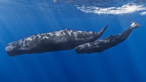 Sperm whalePhyseter macrocephalus
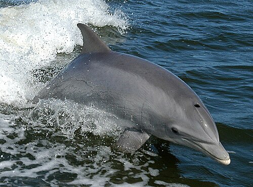 Common bottlenose dolphinTursiops truncatus
What is putting pressure on nature here?
Rising seas threaten the very existence of the low atolls, and fresh water is scarce. Warming water has bleached its reefs.
Learn more about Kiribati
Kiribati on the living planet
Keep exploring from Kiribati
Countries nearby
Sources and photo credits
- Wikidata · Kiribati (Q710), facts and national parks
- Convention on Biological Diversity · Kiribati country profile
- GBIF · human observations in Kiribati, used to choose the species
- Natural Earth · country borders, public domain
- NASA GIBS · Blue Marble imagery, public domain
- Kiritimati, Kiribati: NASA, Public domain
- Malden Island, Kiribati: Angela K. Kepler, Public domain
- Aranuka, Kiribati: NASA, Public domain
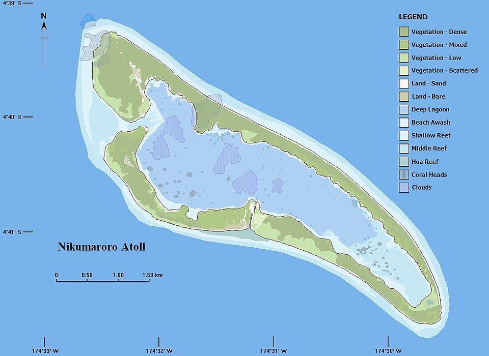
- Nikumaroro, Kiribati: P Minton, from Ikonos image (04-2001), CC BY 2.0
- Butaritari, Kiribati: NASA, Public domain
- Green sea turtle: Charles J. Sharp, CC BY-SA 4.0
- Sperm whale: Gabriel Barathieu, CC BY-SA 2.0
- Common bottlenose dolphin: NASA, Public domain


Borders and the capital show where Kiribati is. Wildlife records show where people have seen animals, not where they all live today.
Checked 2026-11-20.